UKUK USUSIndiaIndia

Every Question Helps You Learn

Join Us
Streak
Leading Streak Today 20
Your Streak Today 0
Streak
Leading Streak Today
20
Your Streak Today
0
Maps - A Plan of the World
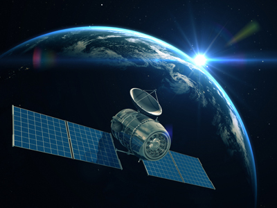
Satellites help us to find our way about by GPS and sat-nav.

Maps - A Plan of the World

This quiz addresses part of the requirements of the National Curriculum KS1 for children aged 5 and 6 in years 1 and 2 in Geography. Specifically it looks at maps, plans, atlases, GPS, Sat-Nav and other ways of representing and understanding the world. It is one of 50 quizzes to help you understand the world around you.

How do we know where things are? How do you find your way around? What if you were in a place you did not know? What would help you find out where you were? That’s why people draw maps to represent features around us. Simple maps are just plans whilst atlases show the entire world! You might draw a plan of your bedroom, or a route map of how you get to school. The next few quizzes are all about maps, plans and finding out about the world.

1.
In Sam’s bedroom there is a bed, a wardrobe and a cupboard. Sam draws where they are on a piece of paper. Sam has drawn a ____ of his bedroom.
Book
Plan
Photo
Table
Can you draw a plan of your bedroom?
2.
Sam lives in a town. Sam looks at a big plan of his town. Sam is looking at a ___.
Painting
Photograph
Map
Mirror
Do you have a map of where you live?
3.
Sam wants to find out where Kenya is. He looks in a book of maps of the world. Sam is looking in an _____.
Album
Atlas
Newspaper
Magazine
Do you have an atlas of the world? Where is Kenya?
4.
Sam knows the Earth is round. He has a model of the Earth in his bedroom. It shows all the oceans, continents and countries of the world. It is called a _____.
Globe
Star
Football
Atlas
The Earth is a sphere
5.
Sam knows that people on boats can find their way round the world using satellites. They do this using ___.
GPS
Sky
ABC
XYZ
GPS stands for Global Positioning System
6.
Sam’s cousin has moved. Sam’s cousin now lives in a town in France. Sam can see the street in France that his cousin lives in. Sam uses ______ _____ to look at the street in France.
Binoculars
Telescope
Google Earth
Computer Game
Sam’s cousin takes a picture of his new home in France. How can he send this picture to Sam?
7.
Sam’s Dad has just got a new car. It is fitted with _______ to help him find his way to places.
Radio
Sat-nav
Seat belts
Clock
What does sat-nav do?
8.
Sam’s Mum has just downloaded an ___. This ___ is an interactive map of big cities.
Video
Photo
File
App
There are lots of apps now to help you find your way
9.
Sam’s Dad has lots of maps on phones and computers. But he likes to use maps printed on _____.
Paper
Glass
Wood
Metal
Lots of people still use paper maps
10.
Sam likes studying the Earth on the globe in his bedroom. He spins the globe. When it stops spinning, Sam is looking at the biggest ocean in the world. Which ocean is this?
Atlantic
Indian
Arctic
Pacific
Try spinning a globe. It will stop at a different part of the world each time
You can find more about this topic by visiting BBC Bitesize - What are maps?

Author:  David Bland

© Copyright 2016-2024 - Education Quizzes
Work Innovate Ltd - Design | Development | Marketing