UKUK USUSIndiaIndia

Every Question Helps You Learn

Join Us
Streak
Leading Streak Today 15
Your Streak Today 0
Streak
Leading Streak Today
15
Your Streak Today
0
O. S. Maps 02
What colour are very high mountains on atlases?

O. S. Maps 02

This KS3 Geography quiz asks questions on O.S. maps. The first maps that were drawn were more like pictures of a place. They were not always particularly accurate and it was not possible to include a lot of data on them. This is why mapmakers decided to use symbols. Ordnance Survey maps use many different symbols and can pack a huge amount of information into a small space. Different types of information are represented in different colours in order to make it easier and faster for you to read the data from a map.

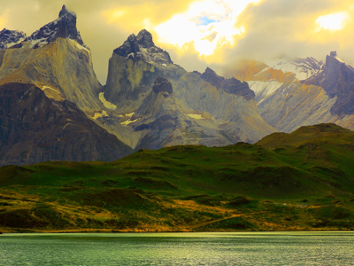
The landscape is three dimensional but the surface of a map is only two dimensional. To solve this problem, the O.S. use contour lines. These are thin brown coloured lines on a map that link points of the same height. The reference point is the mean sea level at Newlyn in Cornwall. By looking at how the contours are arranged, you can get an idea of what it will look like when you get there. For example, you can see if there is a valley or a spur, a steep slope or a gentle slope and so on.

1.
Which of the following does not have an O.S. symbol that resembles the real thing?
Bus station
Lighthouse
TV mast
Windmill
It's like a rectangle combined with a circle and filled in with a red colour. That makes it stand out on the map
2.
The O.S. symbol for a picnic site looks like what?
A litter bin
A packet of crisps
A table
An apple
It looks like a folding picnic table seen from the side
3.
Atlases use what colour for very high mountains?
Black
Orange
Purple
Red
O.S. maps do not use colour to show heights of features
4.
Which saying helps us remember compass points from the top in clockwise order?
Everybody Wants New Shoes
Naughty Elephants Squirt Water
We Snore Every Night
Worms Never Eat Slugs
North, east, south, west
5.
On an O.S. map what do the letters MS mean?
Major Settlement
Milestone
Mini Supermarket
Mining Site
MP is milepost
6.
What do widely spaced contours tell us?
It is a plateau
Slopes are gentle
Slopes are steep
The land is completely flat
The closer the contours the steeper the slope
7.
Which of these is a type of map scale?
Laminate
Lateral
Linear
Lunar
A non-linear scale is sometimes used in atlases - Mercator's projection is a good example of a non-linear map scale
8.
Tourist information symbols are always what colour?
Blue
Green
Pink
Yellow
This makes it easier for tourists to pick out places of interest to them like campsites and viewpoints
9.
The difference in height between contours is the what?
Contour division
Contour gap
Contour interval
Contour split
Usually at 10 metre intervals, sometimes 5 metres, depending on the scale of the map
10.
What is not a reason for using symbols on a map?
They are easily understood by everybody
They are easy to read
They make the map prettier
They save space
Maps are intended to give the user as much data as possible
You can find more about this topic by visiting BBC Bitesize - Map symbols, direction and contour lines

Author:  Jan Crompton

© Copyright 2016-2024 - Education Quizzes
Work Innovate Ltd - Design | Development | Marketing