UKUK USUSIndiaIndia

Every Question Helps You Learn

Join Us
Streak
Leading Streak Today 2
Your Streak Today 0
Streak
Leading Streak Today
2
Your Streak Today
0
Atlas Map Skills
How well can you read maps?

Atlas Map Skills

This GCSE Geography quiz tests you on atlas map skills. You are required to develop and demonstrate a range of geographical skills, including cartographic (map related) skills, which will be assessed in any written exams you take. Ordnance Survey (OS) maps or other map extracts may be used but whichever you are given, the principles of what to do are the same. In this quiz, you will find questions about scales, coordinates, map references and other numbers that you may find on maps in atlases.

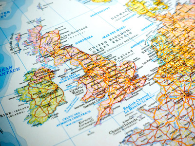
Atlases contain a huge amount of geographical information. Old atlases are very good stores of information from the past which allows geographers to see quickly how country names or boundaries have changed, how urban areas have developed and changes in land use over many years.

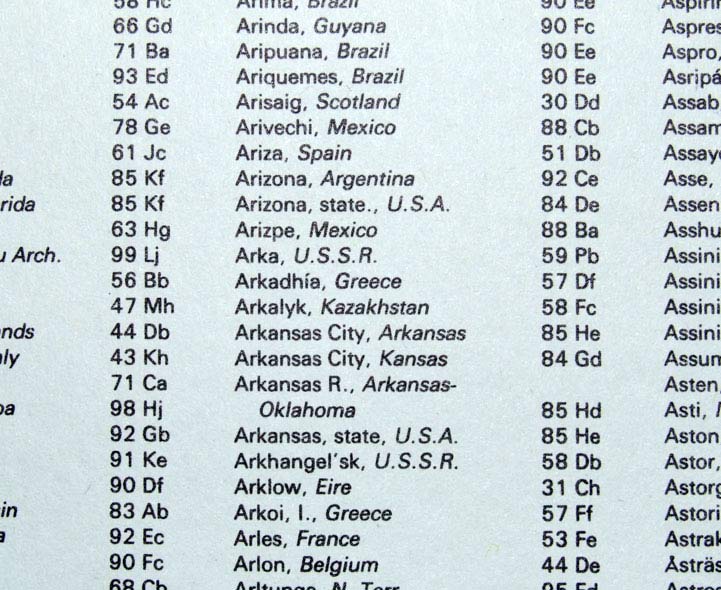
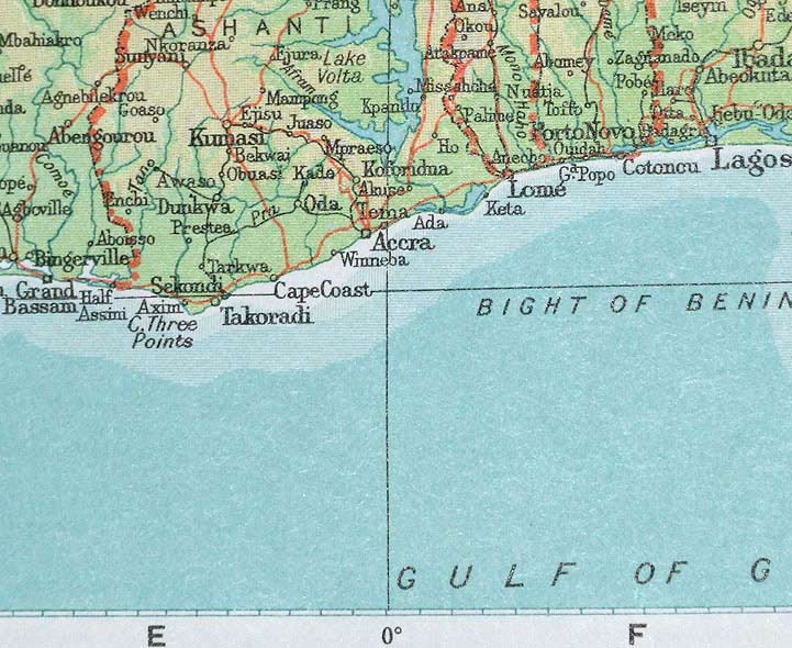
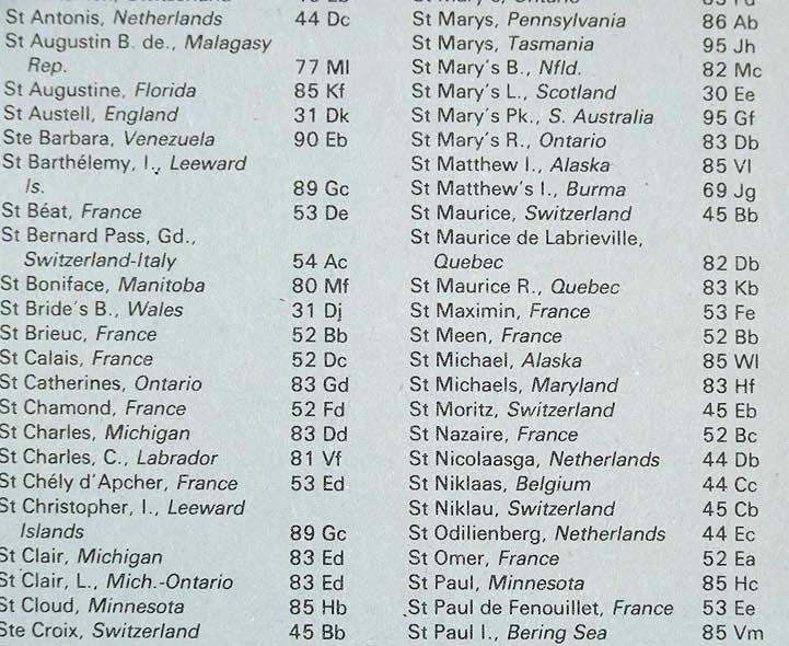
The first place you would look for information in an atlas is the contents, which give you a general idea of what information is in there. Using the index gives you more helpful information, including the page numbers grid references for the features you are seeking. These grid references are different to the ones on OS maps and usually consist of a letter and a number, or a capital letter and a small letter, but the result is the same - a square on the page where your information is to be found.

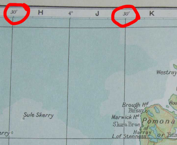
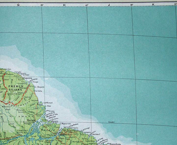
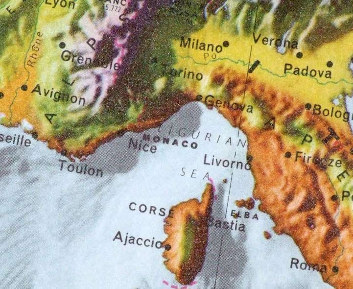
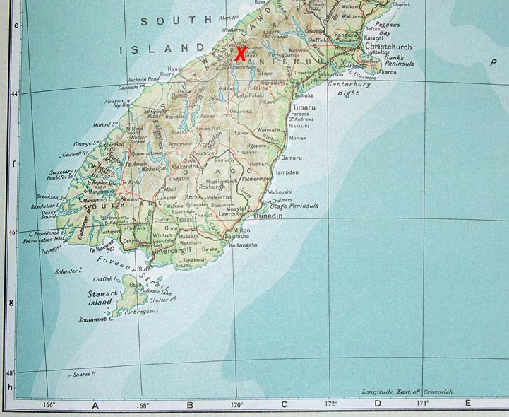
Atlases usually contain more precise information about the location of a geographical feature like a mountain summit or centre of a city - the latitude and longitude. The figures for the longitude are marked along the bottom and the top of most atlas maps and also in certain places on the map too. They are sometimes referred to as the eastings as they increase as you travel east. The lines of longitude are marked vertically on the map.

The latitude figures are marked at the sides of the map and referred to as northings since (in the northern hemisphere anyway) they increase as you move in a northerly direction. When giving the location of a place using latitude and longitude, both numbers are required. In order that everyone knows which number is which, longitude (the eastings) is always given first and latitude (northings) second. Usually, the figure has one of the cardinal points of the compass (N,S,E,W) added as well. We say that the latitude and longitude are the coordinates of a place, so it's just like in maths lessons when you give the coordinates of a point on a graph.

To see a larger image, click on the picture.
1.
Which type of map would you look for in an atlas if you wanted to find the average rainfall in the African country of Mozambique?
Relief
Political
Climate
Cultivation
Climate maps are also used to show average temperatures
2.
What does the 30' indicate?
Latitude 30 degrees north
Latitude 30 degrees south
Longitude 30 degrees west
It's the half way point between two degrees of longitude
Degrees are broken down into minutes, there are 60 minutes in a degree
3.
What feature do you find just to the north west of the point where the 50° W line of longitude meets the equator?
The Alps
The mouths of the Amazon
Cayenne
The Carribean Sea
The Amazon flows more or less parallel to the equator and just a little to the south until it finally meets the sea. Deforestation of the Amazon rainforest is a major global concern
4.
Which of the following types of map in an atlas would you use to identify a mountain range?
Relief
Political
Climatic
Cultivation
Relief maps show the height of the land making it easy to identify mountain ranges, valleys, ocean trenches and so on
5.
Which pair of coordinates most closely corresponds to the location of the highest mountain in New Zealand - Mt. Cook? Its location is marked on this map with a red X.
44° N, 170° W
44° N, 170° E
44° S, 170° E
44° S, 170° W
You should know by now that New Zealand is south of the equator. The map indicates that the longitude is east. Here's a bit of general knowledge for you, not needed for the GCSE - the native people, the Maori, refer to it as Aoraki. In 1991, part of the summit fell off as a massive rockslide, reducing the height of the mountain by 10 metres!
6.
In addition to maps, atlases often contain charts too. According to this chart, which region of the world consumes the most meat and which consumes the highest level of fat and sugar combined?
Australasia and North America
Russia and Eastern Europe
North Africa and the Middle East
China and Western Europe
The greatest number of calories consumed per day is in the areas containing MEDCs
7.
In which American state is the Arkansas City in grid square Gd on page 84?
Arkansas
Kansas
Oklahoma
Kazakhstan
Kansas and Arkansas are named for the native American Kansa tribe. Arkansas originates from the French settlers and explorers and is pronounced Arkansaw but Kansas is pronounced exactly as you would expect
8.
The line of zero degrees longitude is called the:
Greenwich meridian
Blairwitch meridian
London median
Green meridian
This was established by the Royal Observatory at Greenwich in London to help British ships navigate around the world. It was later adopted as the international prime meridian
9.
In which grid square does the Butt of Lewis lie?
bC
Cb
bD
Db
The eastings reference comes first
10.
On what page would you find find St Michael in Alaska?
52
85
83
45
When using an index with small print like this, use a ruler to make sure you are looking along the correct line
You can find more about this topic by visiting BBC Bitesize - Map skills

Author:  Kev Woodward

© Copyright 2016-2024 - Education Quizzes
Work Innovate Ltd - Design | Development | Marketing