


River Profiles
In GCSE Geography students will look in depth at rivers. This is one of several quizzes on that subject and it looks at river profiles and the features found in each stage of their course.
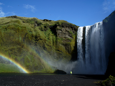
The course of a river is split into three areas - the upper stage, the middle stage and the lower stage. In the upper course the river is close to its source and is commonly in the hills or valleys travelling down a step gradient. At this stage the rocks it is carrying are large and angular. In the middle course the river is eroding its banks and starting to create the meanders that will carve out a floodplain. In the lower course the river is now close to the mouth, it can’t erode down into the land anymore and now it starts to deposit some of the load that was eroded from high above and that the river has been carrying. The rocks deposited here are smaller and smoother than those in the earlier parts of the river's course.
We can also look at rivers in cross section - the cross profile. From those high energy locations high in the mountains, through to the lower valleys, where all that energy is used to shape the geology around us.
The great thing about learning about river profiles is that it’s easy to think about this topic. Imagine you’re walking the length of the river. You start in the mountains, where the water is moving over rapids and flowing quickly through steep sided valleys. As you walk down to lower ground the river gets wider and deeper and the valley wider and flatter as the river starts to wind its way towards the sea, before discharging via its estuary.
How well do you know river profiles? Try this quiz to test your knowledge and see how much you understand.


Ready for more?
not all...
quizzers. Try to win a coveted spot on our Hall of Fame Page.
Here To Help
Our Social Circles
© Copyright 2016-2024 - Education Quizzes
Work Innovate Ltd - Design | Development | Marketing