


Ask the AI Tutor
Need help with O. S. Maps 01? Ask our AI Tutor!
AI Tutor - Lucy
Connecting with Tutor...
Please wait while we establish connection
Which symbol on an O.S. map denotes a battle site?
O. S. Maps 01
Ordnance Survey maps help you read the landscape from paper. Learn how symbols, scales and grid references turn lines and colours into real places.
1 .
If a compass was a clock, which direction lies at 11 o'clock?
East South East
North East
North North West
West South West
North, south, east and west are known as the cardinal points of the compass
2 .
A spot height is shown by what colour dot?
Black
Green
Orange
Red
The height is printed alongside the dot
3 .
Which lines join places lying at the same height?
Contour lines
Isobars
Lay lines
Relief lines
They are thin brown lines
4 .
What is a useful saying when reading O.S. maps?
Along the corridor then up the stairs
Keep calm and carry on
Round the bend and up the wall
Take the lift then turn right
This is intended to remind you that when giving or using an O.S. map reference, the first part is the east-west figure and the second part is the north-south figure
5 .
What colour are motorways on O.S. maps?
Black
Blue
Pink
Red
Water features are also blue
6 .
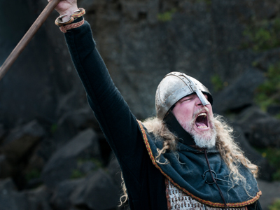
Which map symbol shows the site of a battle?
Cannon
Crossed spears
Crossed swords
Shield
It will often have the date of the battle next to it
7 .
How large an area does a 6 figure grid reference represent?
1 metre x 1 metre square
10 metres x 10 metres square
100 metres x 100 metres square
1,000 metres x 1,000 metres square
When navigating, it is important to remember this
8 .
On a scale of 4 cm to 1 km, how far is 25 cm?
5.25 km
5.75 km
6.25 km
6.5 km
Dividing 25 by 4 gives the answer. We hope that you didn't guess or reach for the calculator - it is easy enough to do this in your head
9 .
What do the letters PC stand for ?
Play centre
Private campground
Public carpark
Public convenience
Useful to remember when you need the loo!
10 .
Which of these map scales gives the most detail?
1 to 5,000
1 to 10,000
1 to 25,000
1 to 50,000
1 cm on the map represents 5,000 cm on the ground
You can find more about this topic by visiting BBC Bitesize - Map symbols, direction and contour lines


**Unlimited Quizzes Await You! 🚀**
Hey there, quiz champ! 🌟 You've already tackled today's free questions.
Ready for more?
Ready for more?
🔓 Unlock UNLIMITED Quizzes and challenge yourself every day. But that's
not all...
not all...
🔥 As a Subscriber you can join our thrilling "Daily Streak" against other
quizzers. Try to win a coveted spot on our Hall of Fame Page.
quizzers. Try to win a coveted spot on our Hall of Fame Page.
Don't miss out! Join us now and keep the fun rolling. 🎉
**Unlimited Quizzes Await You! 🚀**
Hey there, quiz champ! 🌟 You've already tackled today's free questions. Ready for more?
🔓 Unlock UNLIMITED Quizzes and challenge yourself every day. But that's not all...
🔥 As a Subscriber you can join our thrilling "Daily Streak" against other quizzers. Try to win a coveted spot on our Hall of Fame Page.
Don't miss out! Join us now and keep the fun rolling. 🎉
© Copyright 2016-2026 - Education Quizzes
Work Innovate Ltd - Design | Development |
Marketing